NYU Tandon researchers launch interactive 3D flood map to help New Yorkers visualize climate risks
Lower Manhattan pilot project aims to expand to all of New York City and cities worldwide

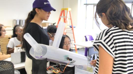
GeoFlood Studio showing Hurricane Sandy-level flooding in lower Manhattan in 2050, with the East Side Coastal Resiliency wall intact. Image credit: Yuki Miura
When Hurricane Sandy devastated New York City in 2012, it became clear that communicating flood risk through traditional probability maps wasn't enough.
Now, researchers at NYU Tandon School of Engineering have created GeoFlood Studio, an interactive 3D flood visualization platform that lets users see exactly how water would rise around their neighborhood during major storms.
"Talking about probability and technical terms in risk assessment often isn't digestible," said Yuki Miura, Assistant Professor in the Department of Mechanical and Aerospace Engineering and the Center for Urban Science + Progress, who leads the project. "We need realistic tools that people can understand."
GeoFlood Studio, developed over the past two months by Miura's Climate, Energy, and Risk Analytics (CERA) Lab, represents a significant advance over existing flood visualization tools. “While other 3D flood models exist, they typically offer limited scenarios, slow loading times, and basic flood-zone style information that shows only which areas might be underwater, without the level of detail on depth, velocity, and human vulnerability that our platform provides,” said Miura.
With GeoFlood Studio, users can explore scenarios based on Hurricane Sandy (coastal flooding) and Hurricane Ida (rainfall-driven flooding), each combined with projected sea level rise for 2050, 2080, and 2100. The tool allows examination of compound flooding scenarios where both storm types occur simultaneously.
The platform's interactive features include adjustable human silhouettes to show precisely how deep flood waters would reach at the user's height. Users can toggle velocity overlays to see how fast water is projected to move, or vulnerability overlays that show color-coded safety zones ranging from areas safe for driving to zones where adult life is in danger.
Users can also enable or disable the East Side Coastal Resiliency seawall to instantly see how this infrastructure protects against flooding.
"If flood depths are about two feet, you might think that’s not so dangerous. But if the velocity is high, the risk can be much greater than you expect. Conversely, if the velocity is low, you may still face challenges but have a better chance of safety," Miura explained.The map loads immediately, allowing users to click anywhere for instant data about flood depth, water velocity, and vulnerability (danger) levels. Users can select preset viewing locations across Lower Manhattan or navigate the 3D map freely.
Currently focused on Lower Manhattan, the platform is expanding rapidly. Within weeks, GeoFlood Studio will include evacuation routing capabilities, showing the safest path to emergency shelters while avoiding dangerous flood zones. The team plans to expand coverage to all of New York City within months and enable other researchers to upload their own flood scenarios by year's end.
Applications extend beyond academic research. Emergency management agencies can plan evacuation routes, insurance companies can assess property risks more accurately than traditional FEMA flood zone maps, and real estate developers can evaluate how proposed seawalls might protect properties.
"Asset management firms and insurance companies can use this to see exactly which areas will be underwater and how deep, going beyond the broad categories provided by FEMA’s flood zone maps," Miura noted.
The project reflects Miura's broader research mission to "identify, measure, and manage risks" through tools that work for both technical experts and community members. GeoFlood Studio is part of her larger body of work modeling urban flood risks, which includes developing rapid flood estimation tools that deliver real-time flood forecasts within seconds.
The team has gathered feedback from New York City agencies including the Department of Environmental Protection and the Mayor's Office, as well as local high school students and artists, ensuring the platform serves diverse users.
As climate change intensifies flood risks worldwide, GeoFlood Studio offers a model for making complex climate science accessible and actionable. By letting people see themselves in flood scenarios rather than reading statistics, the platform transforms abstract risk into a tangible, personal understanding.
NYU will showcase GeoFlood Studio during a public workshop on September 26, 2025 as part of NYU Climate Week 2025, inviting residents, practitioners, and policymakers to explore the tool and discuss how visual insights can drive climate adaptation planning.