Earth-shaking expertise
New faculty member Luis Ceferino is exploring novel ways to model natural disasters

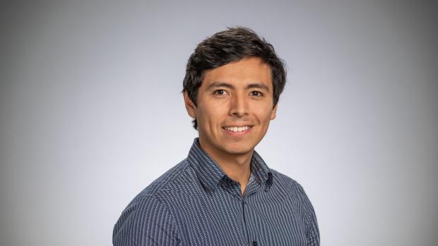
Assistant Professor of Civil and Urban Engineering, Luis Ceferino
The magnitude-7 earthquake that devastated Haiti in 2010, the superstorm that ravaged the entire eastern seaboard of the U.S. in 2012, the hurricane that left Puerto Rico without power for months. While previous natural disasters triggered massive disruptions worldwide and exposed large vulnerabilities in our infrastructure, cities still struggle to understand what the impact of future disasters will be on their communities and what to do to prevent them.
Luis Ceferino, a joint professor in Civil and Urban Engineering and the Center for Urban Science and Progress, is adept at calculating the seemingly incalculable. He combines rigorous uncertainty quantification methods, machine learning, structural modeling, and optimization techniques to determine the impact of extreme events on urban systems and strategize solutions for resilience, focusing on vulnerable communities.
“My ultimate goal is to ensure that the power grid remains accessible after a disaster, provide more effective emergency response, and reduce risk trajectories for our cities,” Ceferino, who arrives in Brooklyn in January, explains. “Part of the problem is that even big cities often lack the data and engineering models needed to measure disaster risk and create roadmaps to make our communities more resilient to natural disasters. It might seem hard to believe but some areas don’t even have an accurate inventory of their infrastructure. Part of the solution, then, is helping them gather vital data, using tools to measure risk, and visualizing how different policies reduce risk and create resilience.”
A native of Lima, where non-engineered construction practices have created large vulnerabilities in the housing infrastructure, Ceferino is the founder of a Peru-based startup called Yanapay that is developing a comprehensive and free platform for earthquake and tsunami risk visualization, with the financial support of the Ministry of Production of Peru. “If we can empower homeowners with information about their seismic risk, they will be able to understand their true risk and make informed decisions to retrofit their homes. We also believe that this risk information can help the government allocate funds better for retrofitting interventions,” he says.
He is looking forward to being at Tandon. “Lima is a big city, so I’m happy to be back in a milieu like that,” Ceferino, who has been conducting his postdoctoral work in Princeton, explains. “And on a professional level, I welcome being at an institution that values multidisciplinary research and will enable me to work at the intersections of engineering, urban planning and data-science. This will help extend the limits of what is feasible with natural disaster modeling, guide risk reduction policies, and leverage new technologies to increase the resilience of our cities.”


