Mapping the Cityscape: Mapping Manhattan
- CultureNOW.org July 19th, 2011
- Source: http://culturenow.org/symposia&event=2011-07-19
Center for Architecture, New York City
Presented by AIA NY Planning & Urban design committee), cultureNOW
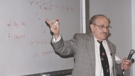
Mapping The Cityscape: Mapping Manhattan Symposium Part Four video featuring Carl Skelton,- Industry Professor of Digital Media, on Betaville.
...
This is the second evening in a series of discussions about digital mapping and its impact on our cityscape. Beginning with the Manahatta project which recreates the unbuilt island of 1609 and ending with the most recent user-generated maps of Google Earth, the panel will explore how the city can be and has been understood through the vehicle of mapping. Different lenses and tools highlight various ways that the city has been organized and perceived. The respondents, all cartographers presented their maps during the first symposium in May.